File:Figure6 3 COLOR.png
From Coastal Wiki
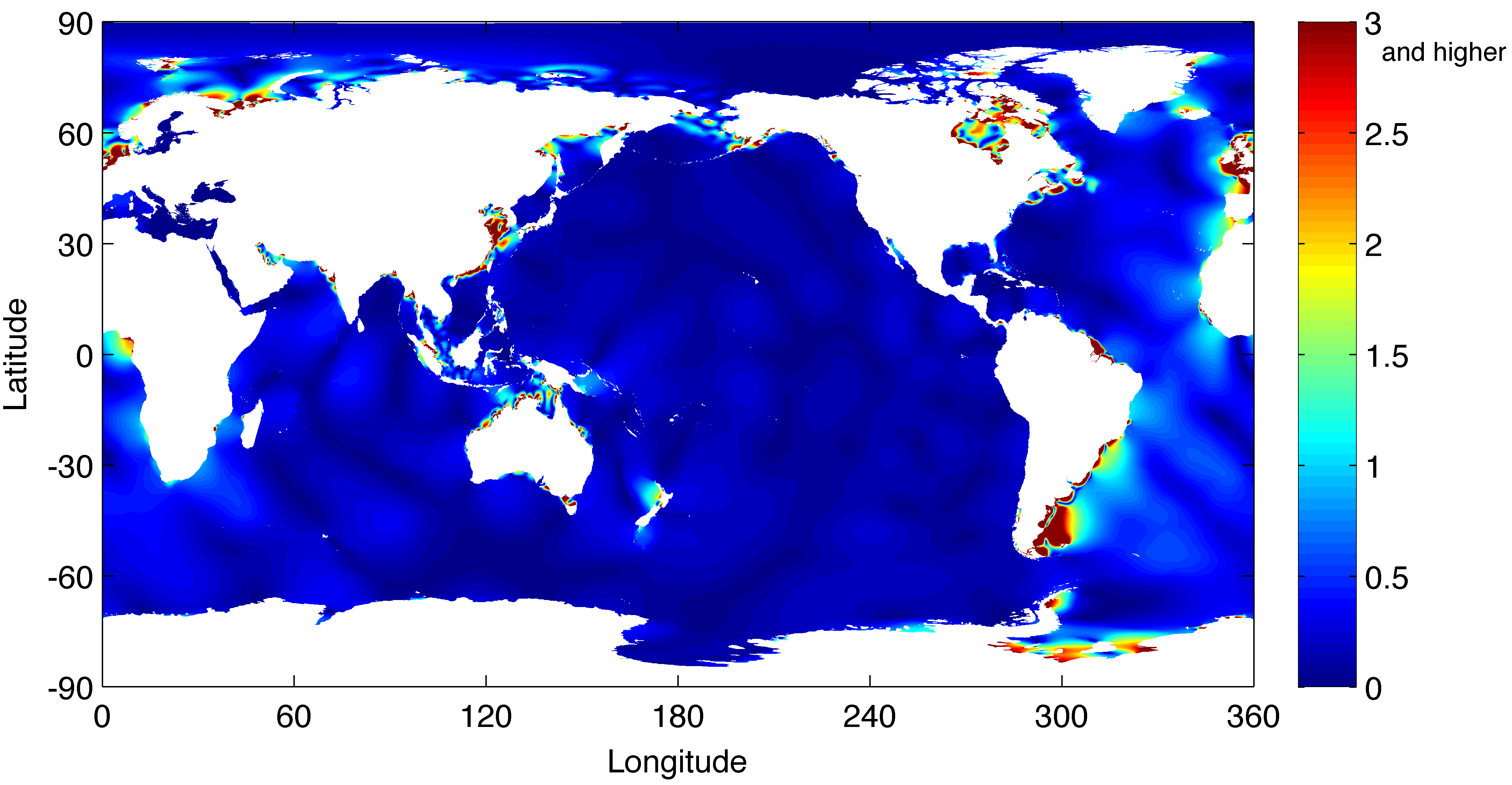
Revision as of 13:49, 29 February 2020 by Dronkers J (talk | contribs) (Global map of the amplitude of quarterdiurnal tide M4.)
Size of this preview: 800 × 415 pixels. Other resolutions: 320 × 166 pixels | 4,324 × 2,245 pixels.
Original file (4,324 × 2,245 pixels, file size: 493 KB, MIME type: image/png)
Summary
Global map of the amplitude of quarterdiurnal tide M4.
File history
Click on a date/time to view the file as it appeared at that time.
| Date/Time | Thumbnail | Dimensions | User | Comment | |
|---|---|---|---|---|---|
| current | 13:49, 29 February 2020 | | 4,324 × 2,245 (493 KB) | Dronkers J (talk | contribs) | Global map of the amplitude of quarterdiurnal tide M4. |
- You cannot overwrite this file.
File usage
The following page links to this file:
